


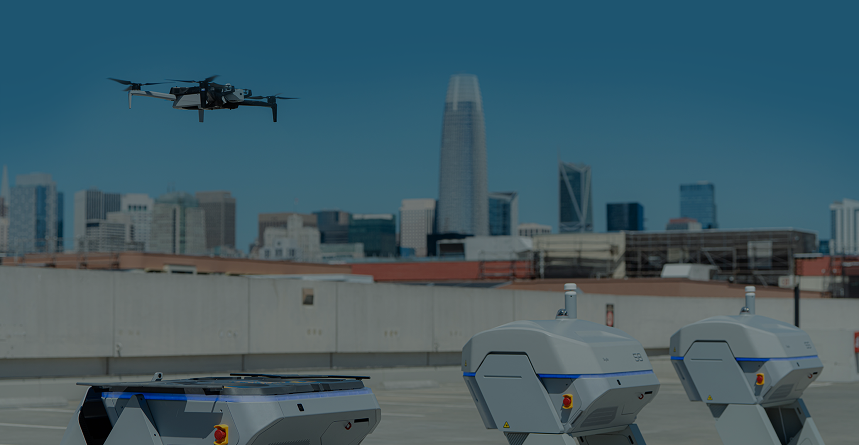
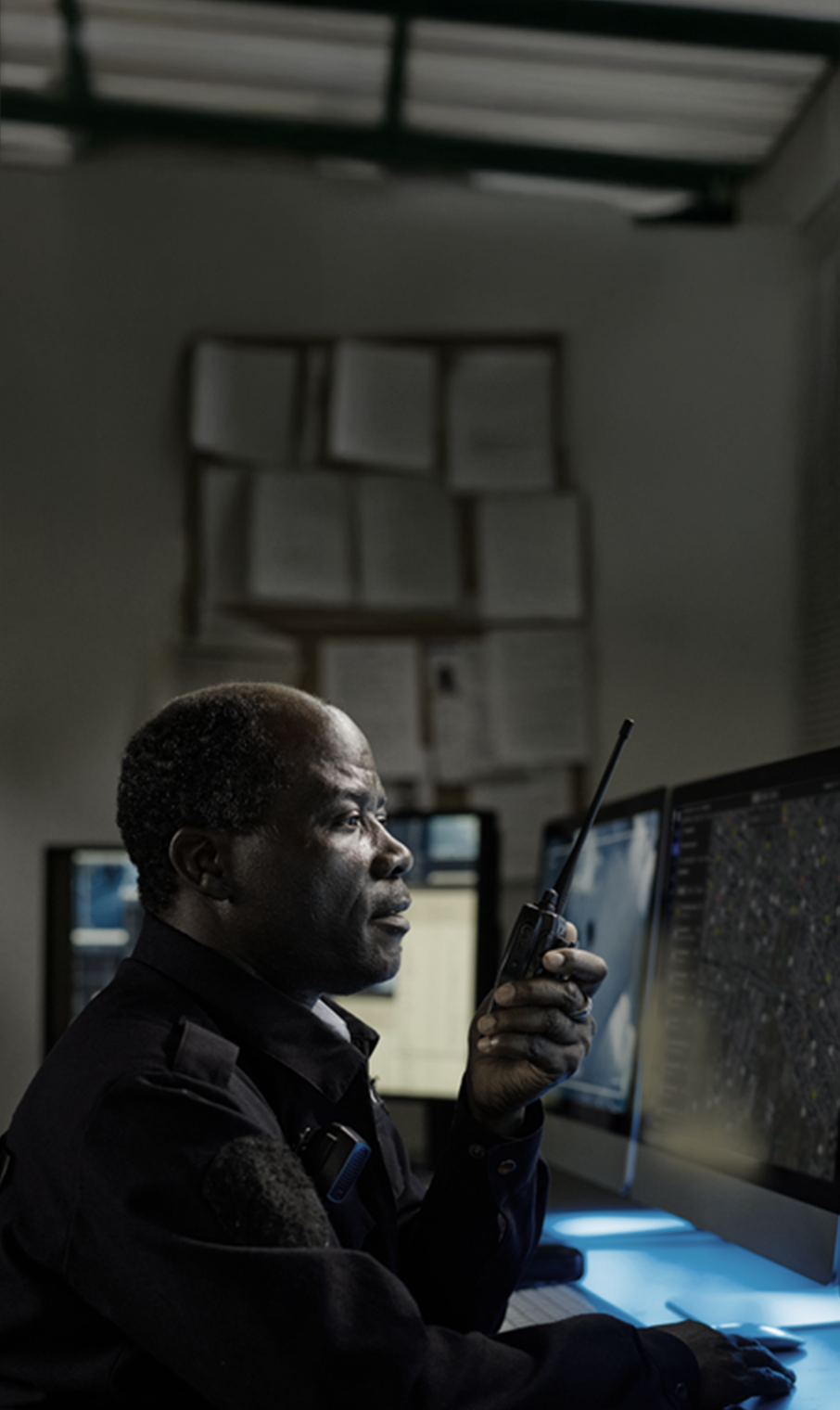
When lives are on the line, get Skydio in the air.
Give officers every advantage with a Drone as First Responder (DFR) program.
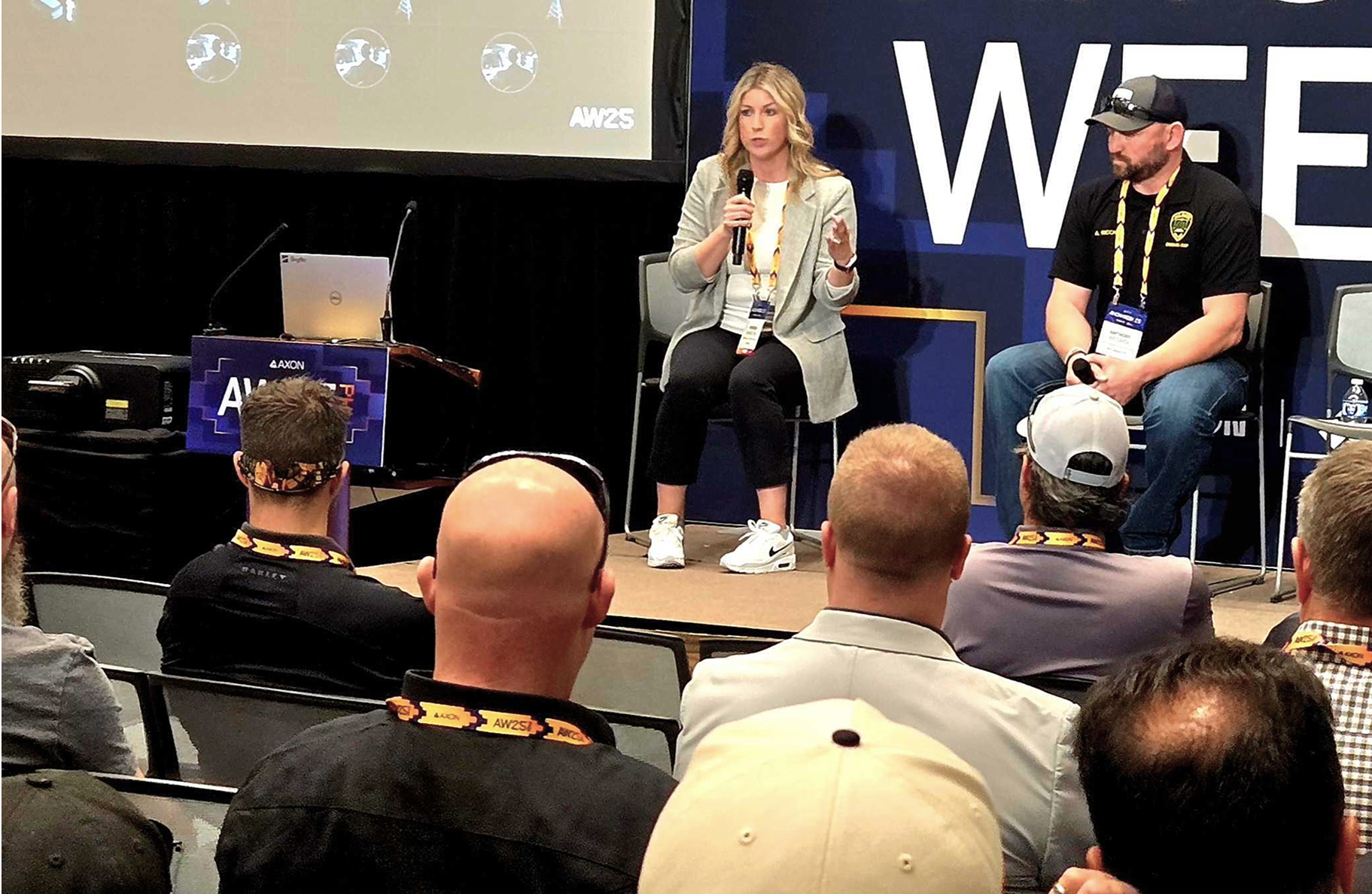
More than 1,300 public safety agencies make an immediate impact with Skydio.


DFR: A force multiplier for your agency.
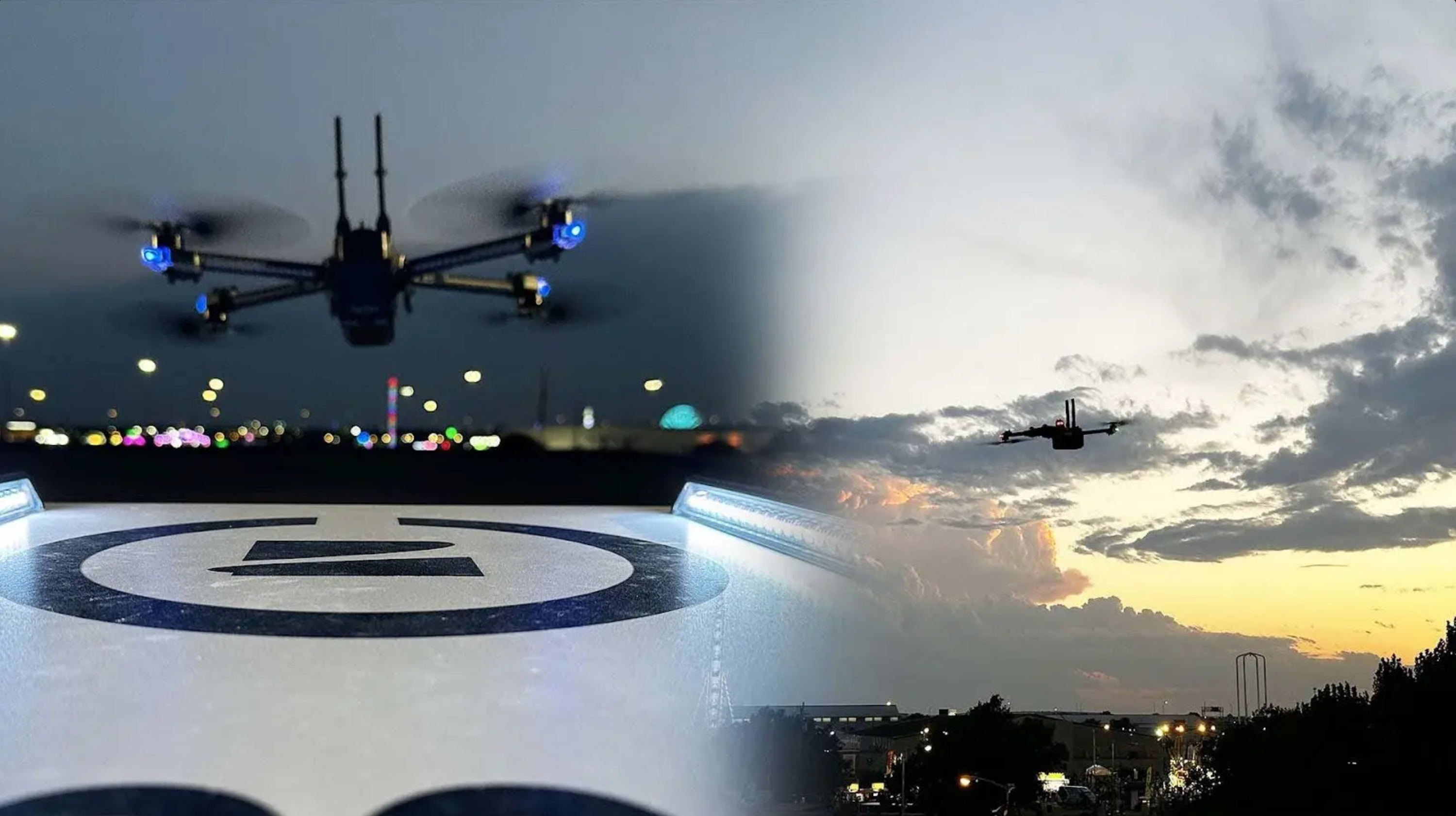
Respond to calls in seconds, day or night. Provide live aerial intelligence to officers and your Real-Time Crime Center (RTCC), or clear calls without sending an officer. Skydio DFR multiplies your impact—delivering new levels of speed, safety, and efficiency.

Brookhaven PD unlocks 30 second response times with the deployment of 8 new Docks.
Deploy DFR your way.
No two agencies are alike, but every team deserves faster, safer response. Skydio DFR offers flexible deployment models that fit your mission, staffing and community needs.
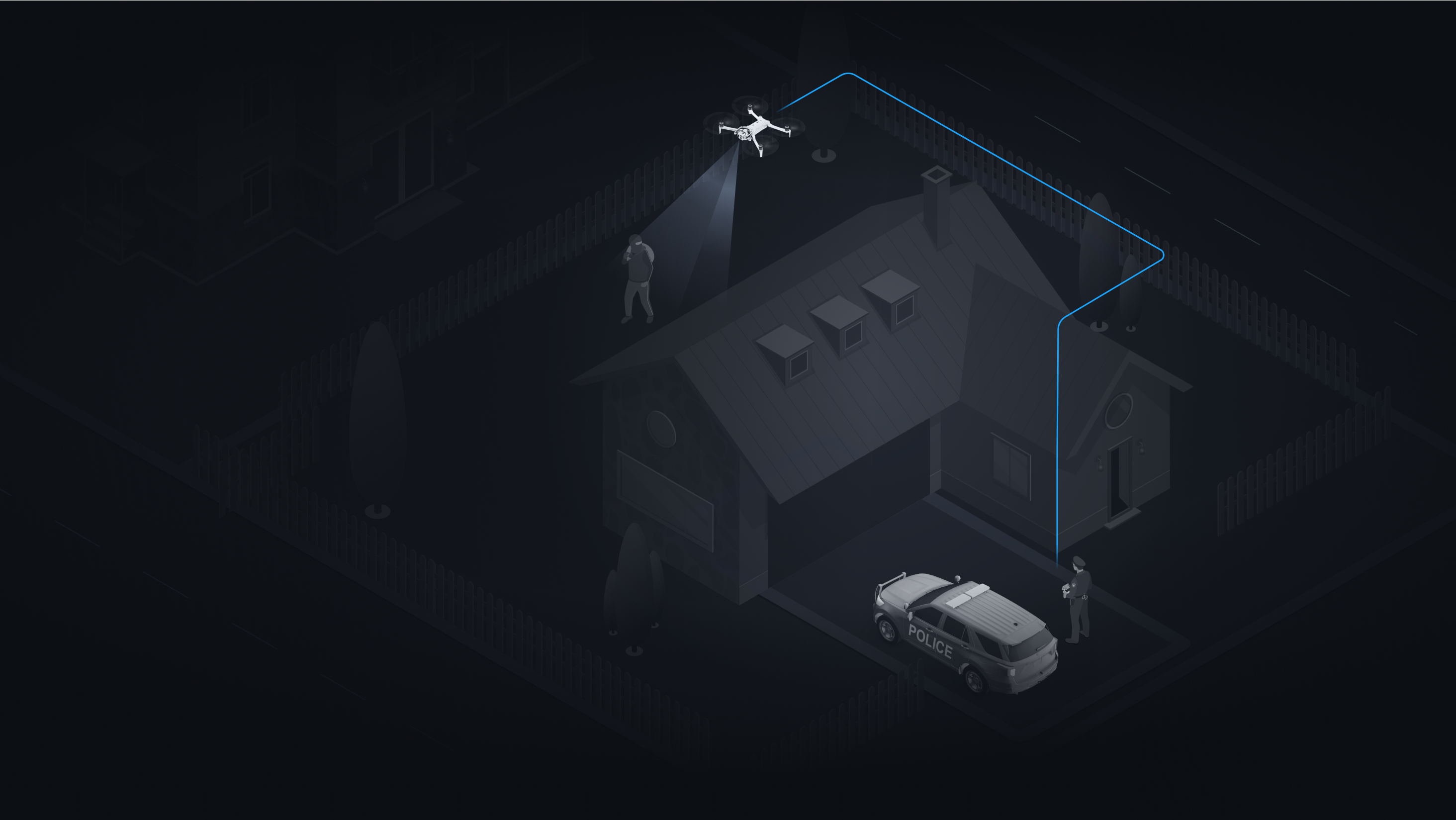
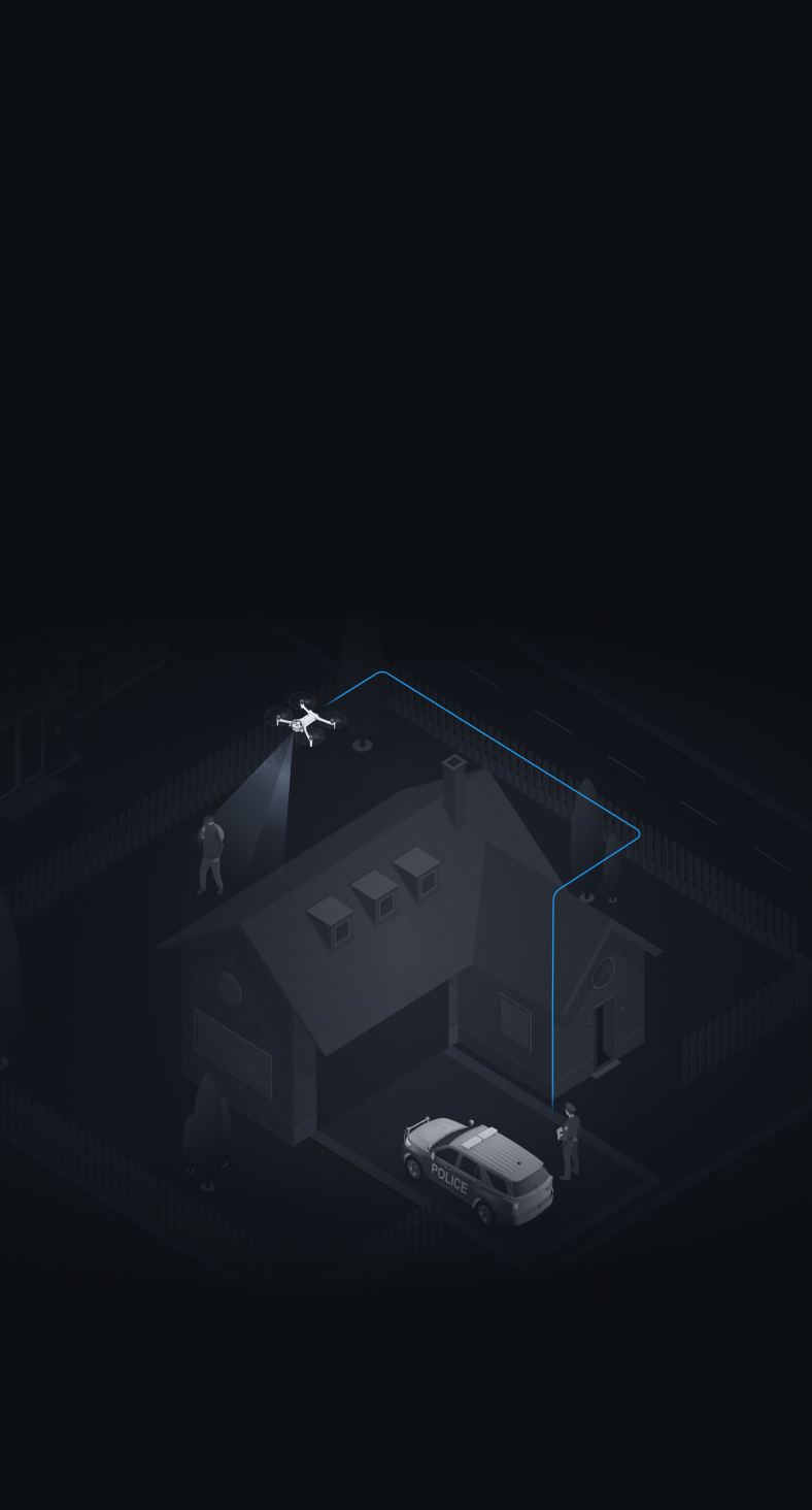
A family of flying robots, working together on one common platform.
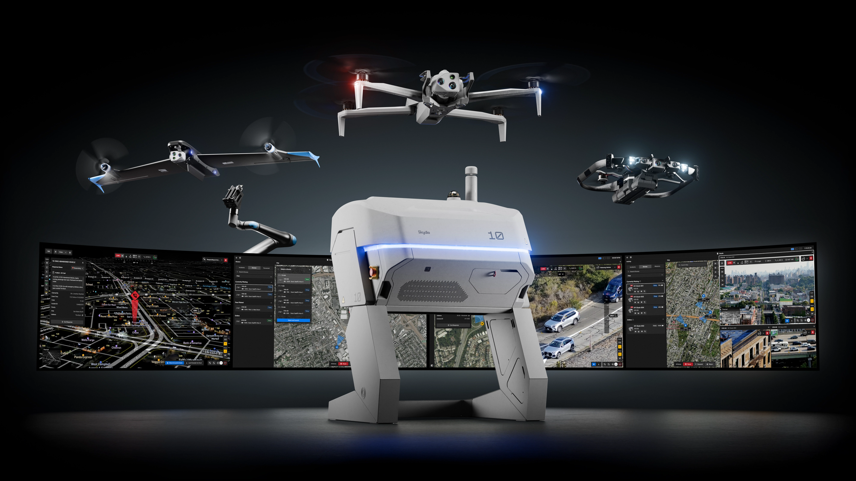
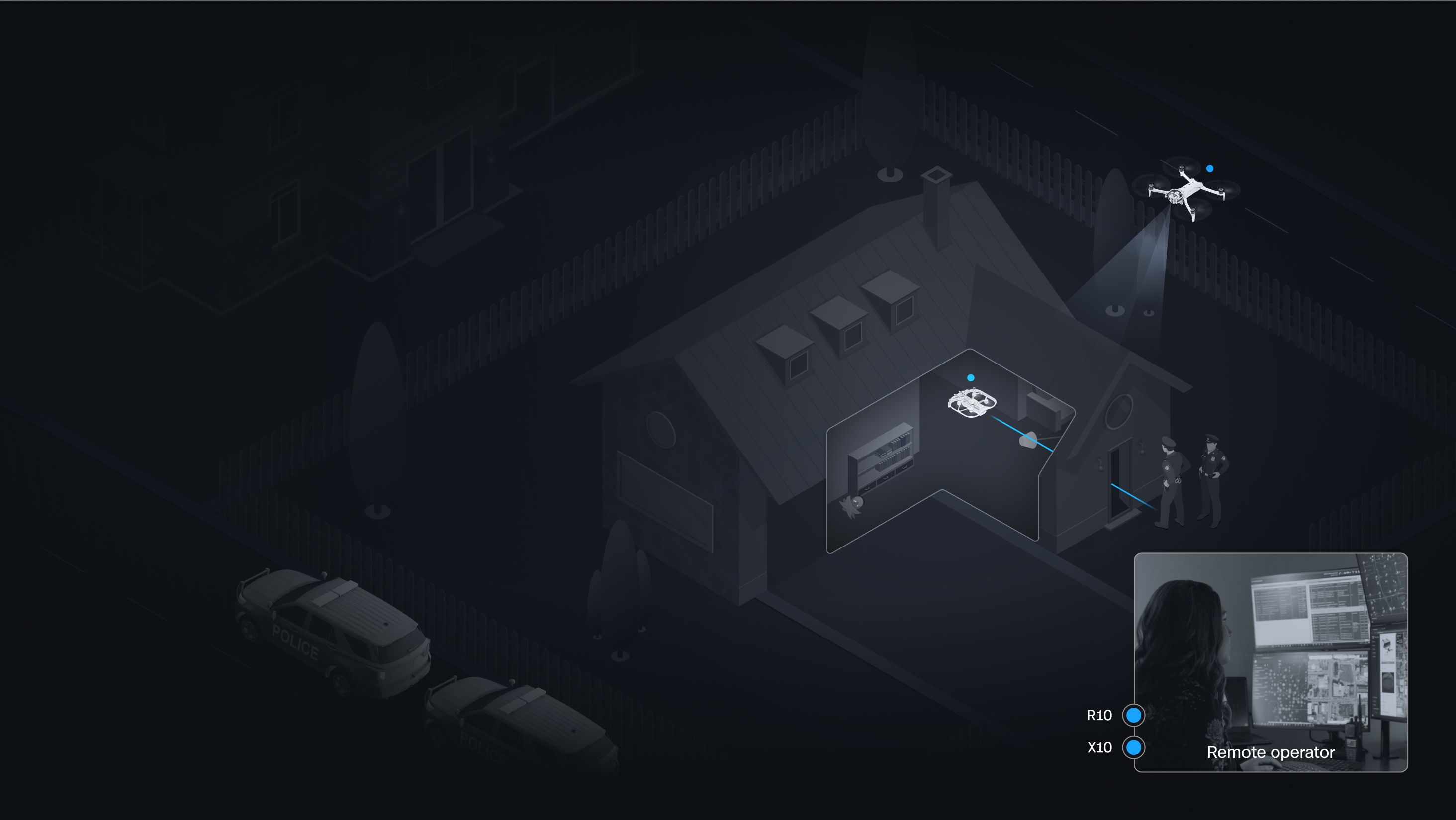
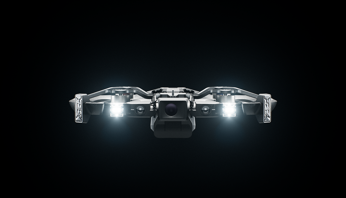
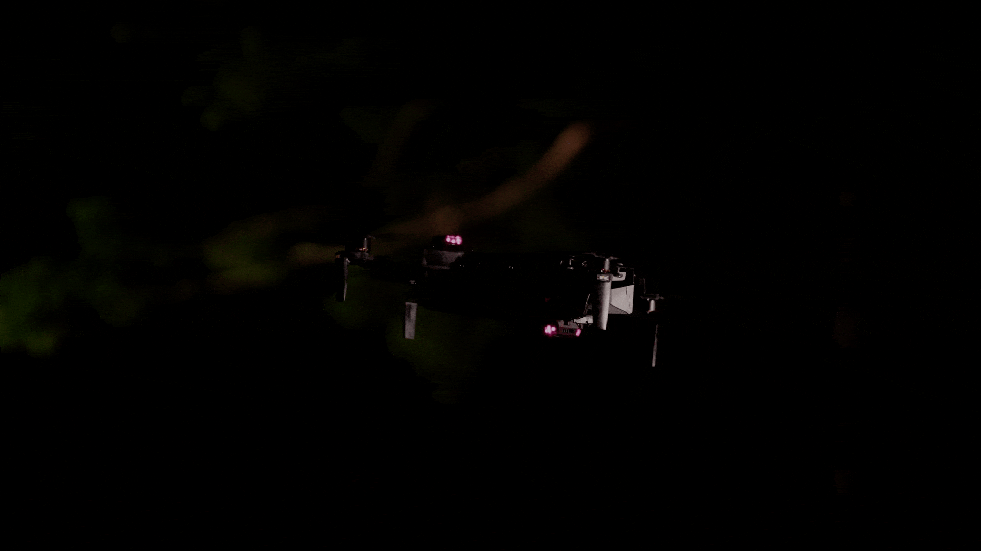
Skydio X10
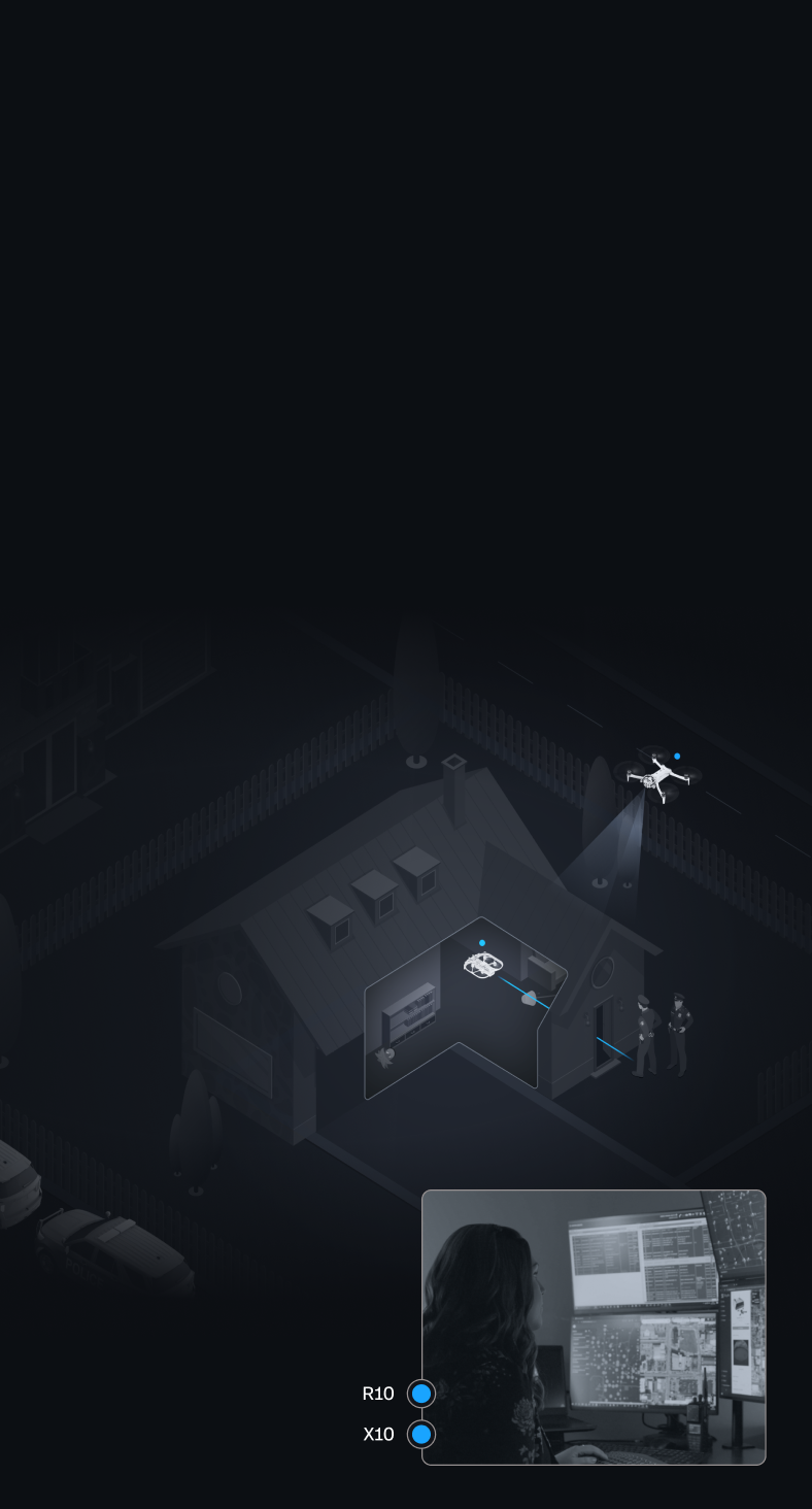
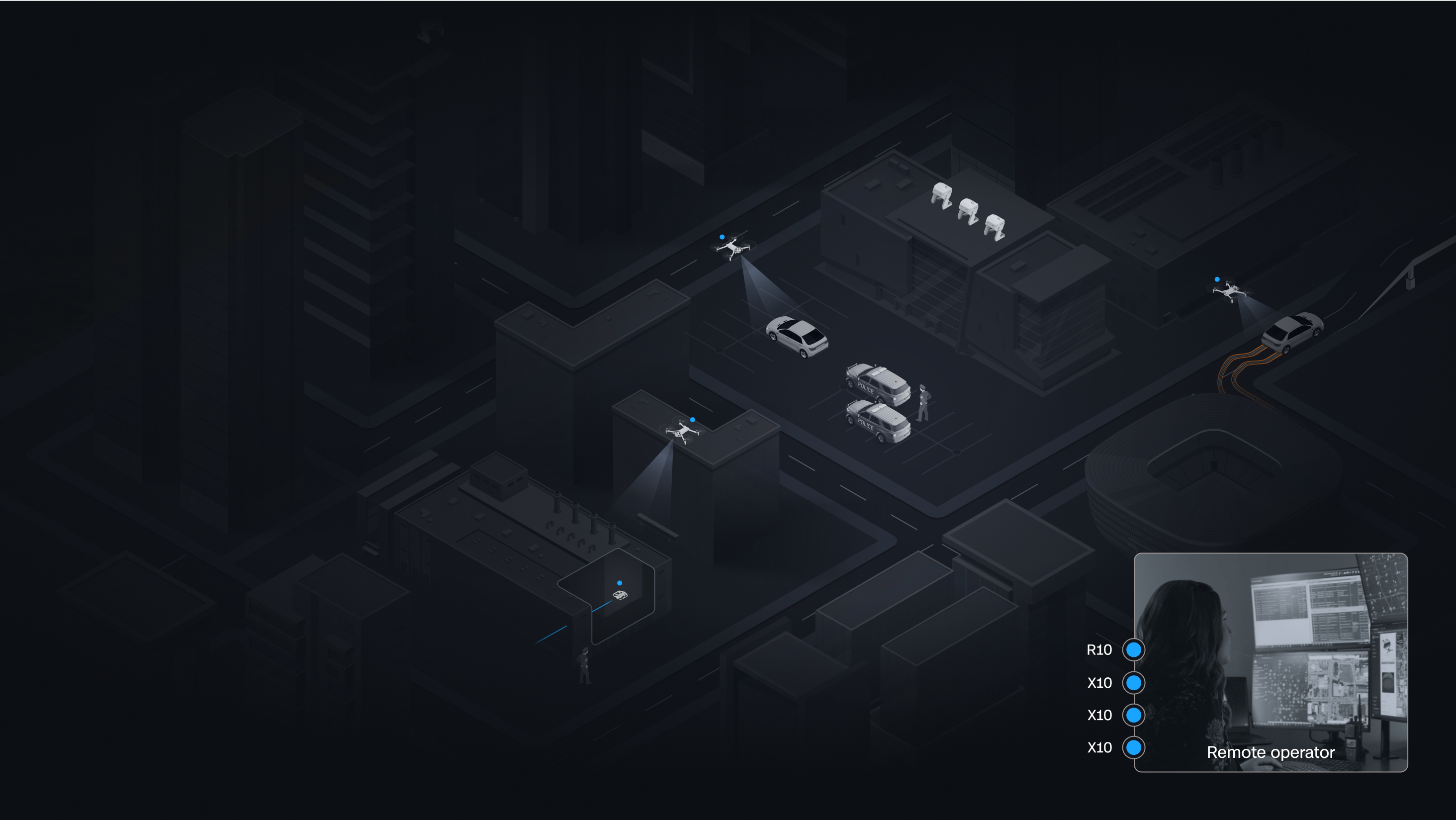
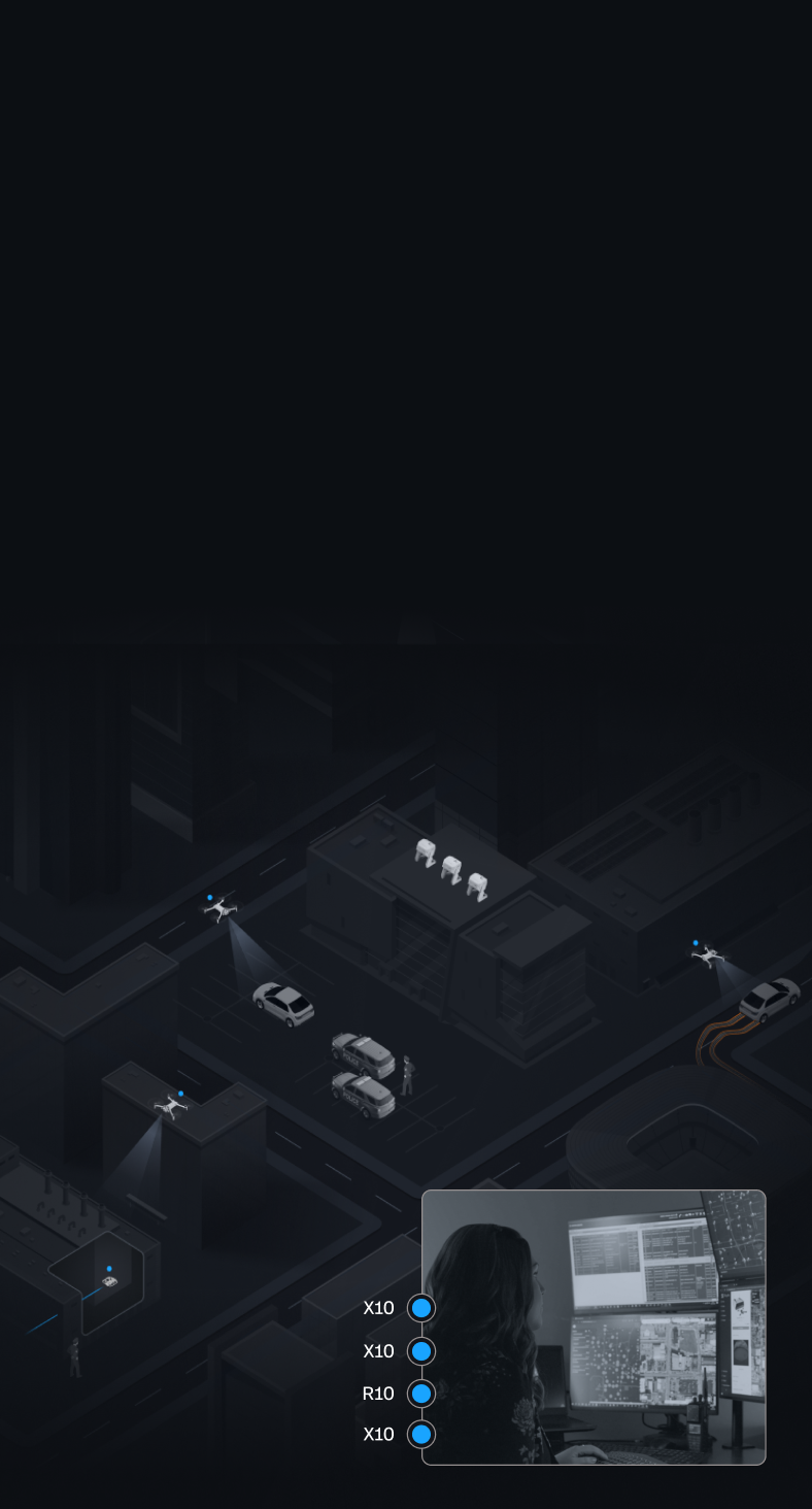
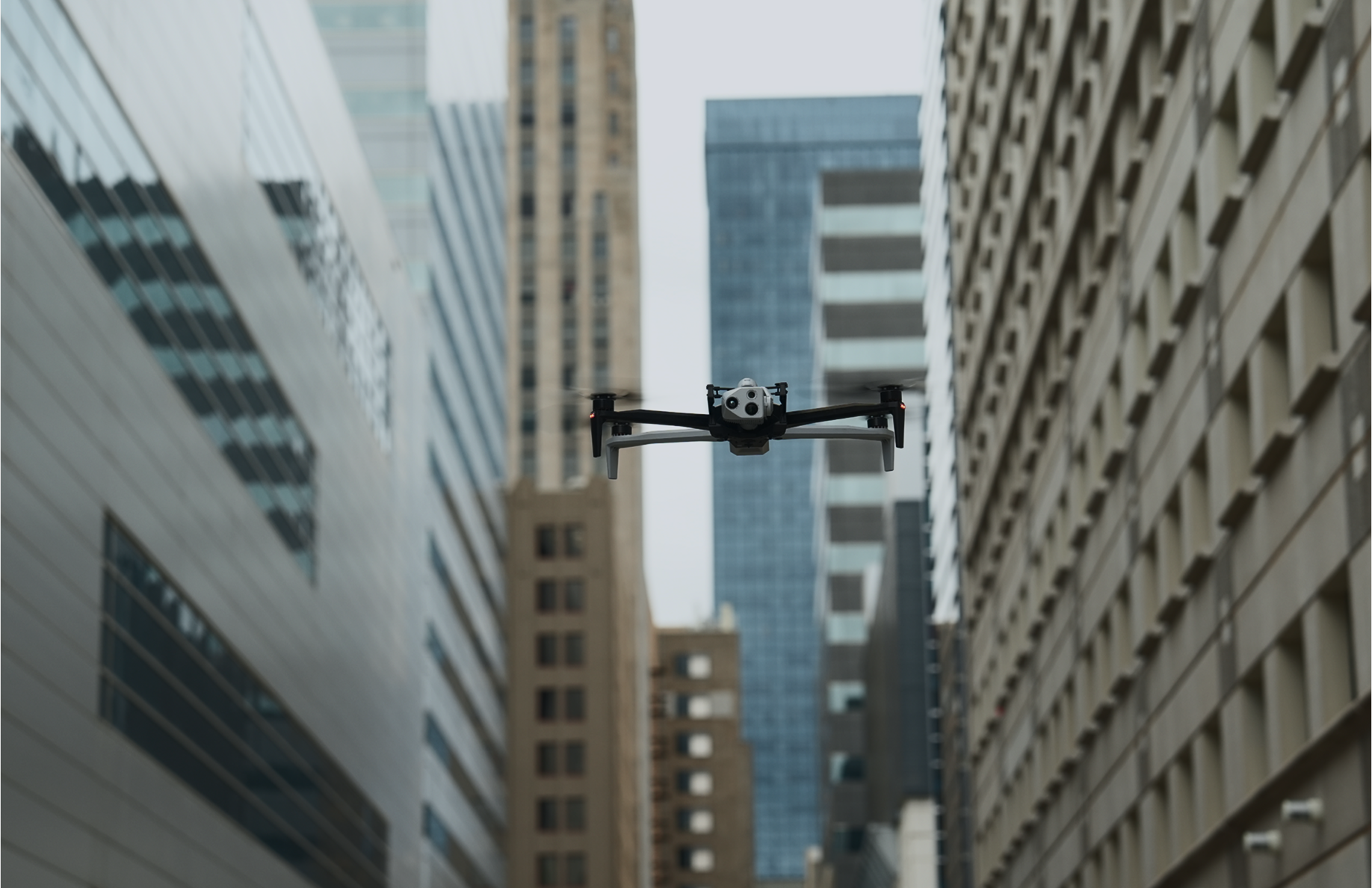
X10 puts eyes over the scene outdoors. Launched in seconds from patrol vehicles or Dock hives, it streams live video through DFR Command—tracking subjects, following vehicles, and providing real-time overwatch day or night.

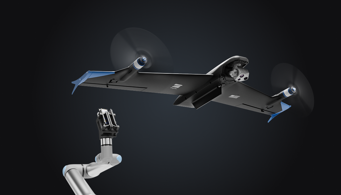
Skydio R10
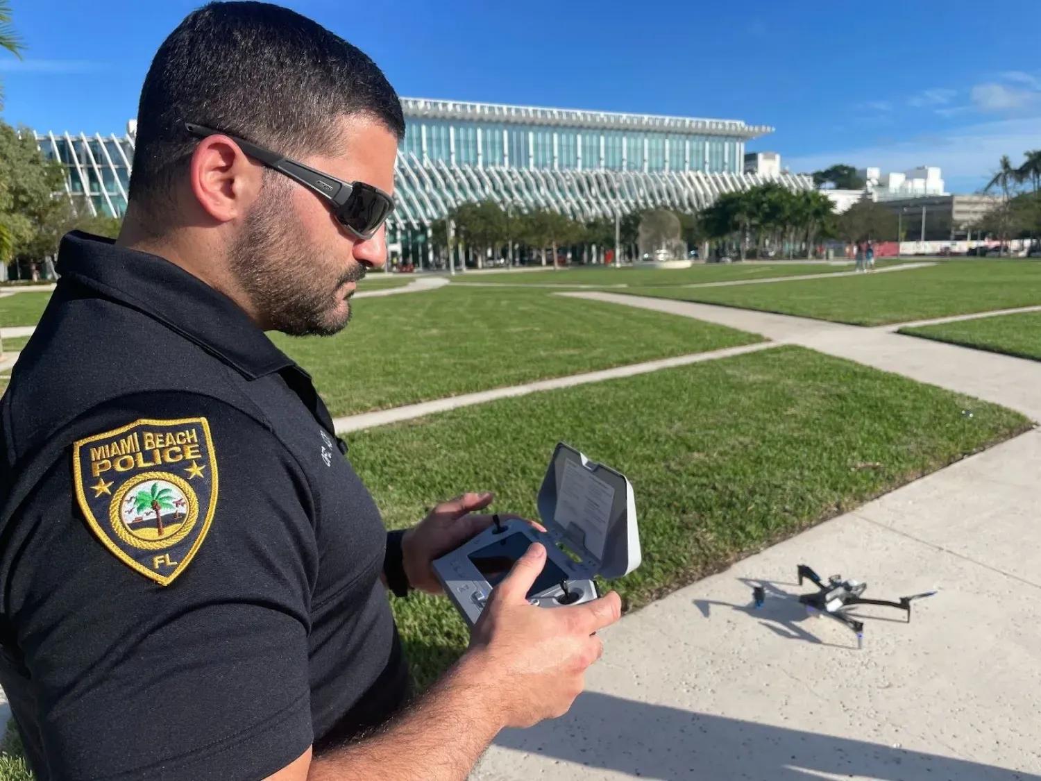
R10 puts eyes indoors before officers enter. Compact and rugged, it’s launched by patrol officers and flown manually or handed off to a remote pilot through DFR Command. It streams live video, lights dark spaces, and puts two-way communication in the room.
Skydio F10
Coming soon: F10 extends the radius of DFR coverage to dozens of miles, responding to long-distance calls, sustaining coverage for extended incidents, and keeping pace when speed is critical.
Instant launch and handoff
Dock makes operations persistent. Strategically placed Dock hives keep X10s ready in the right locations. Connected to CAD and NG911 through DFR Command, operators launch the nearest drone instantly for faster response, broader coverage, and 24/7 operations.
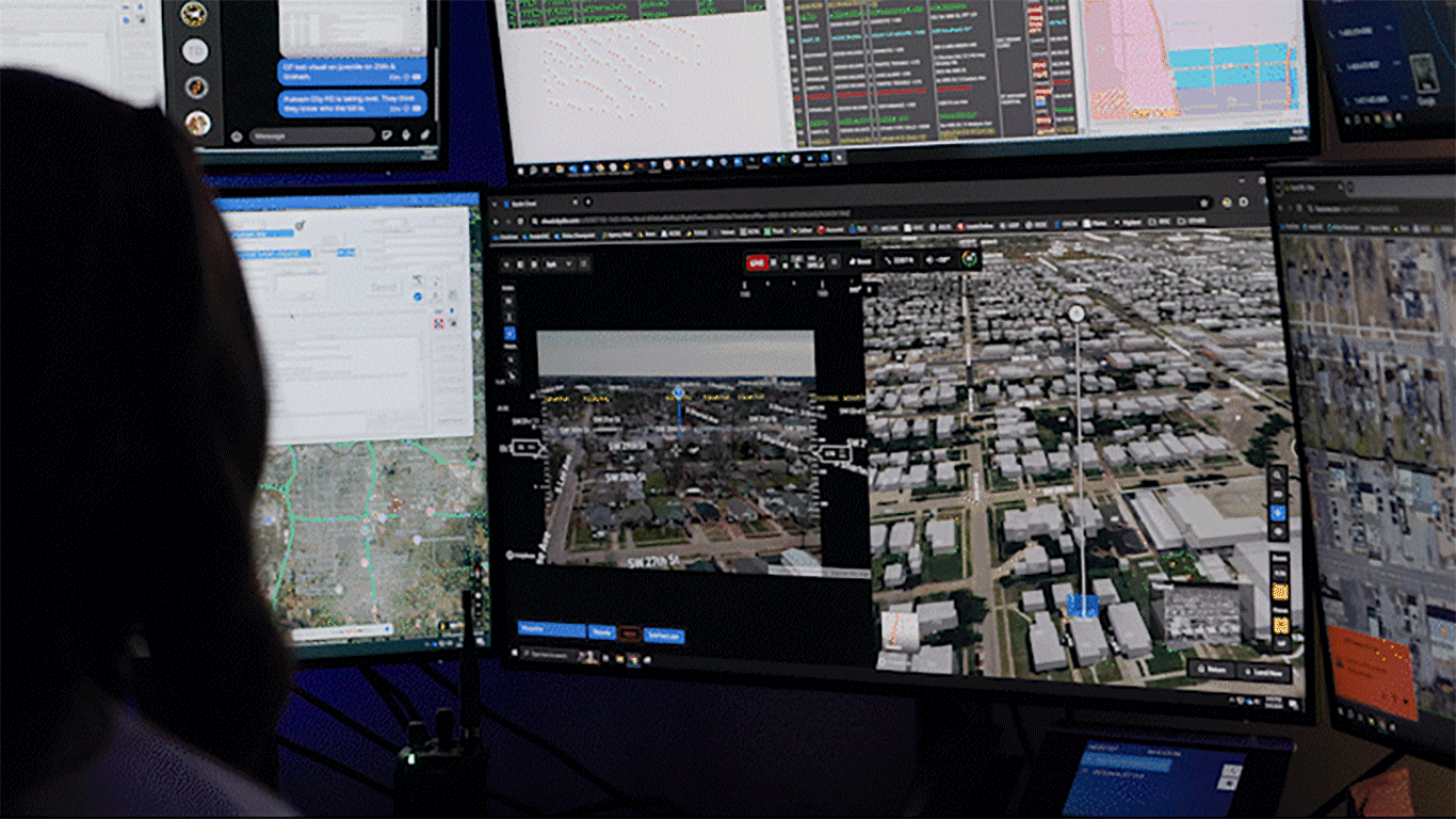
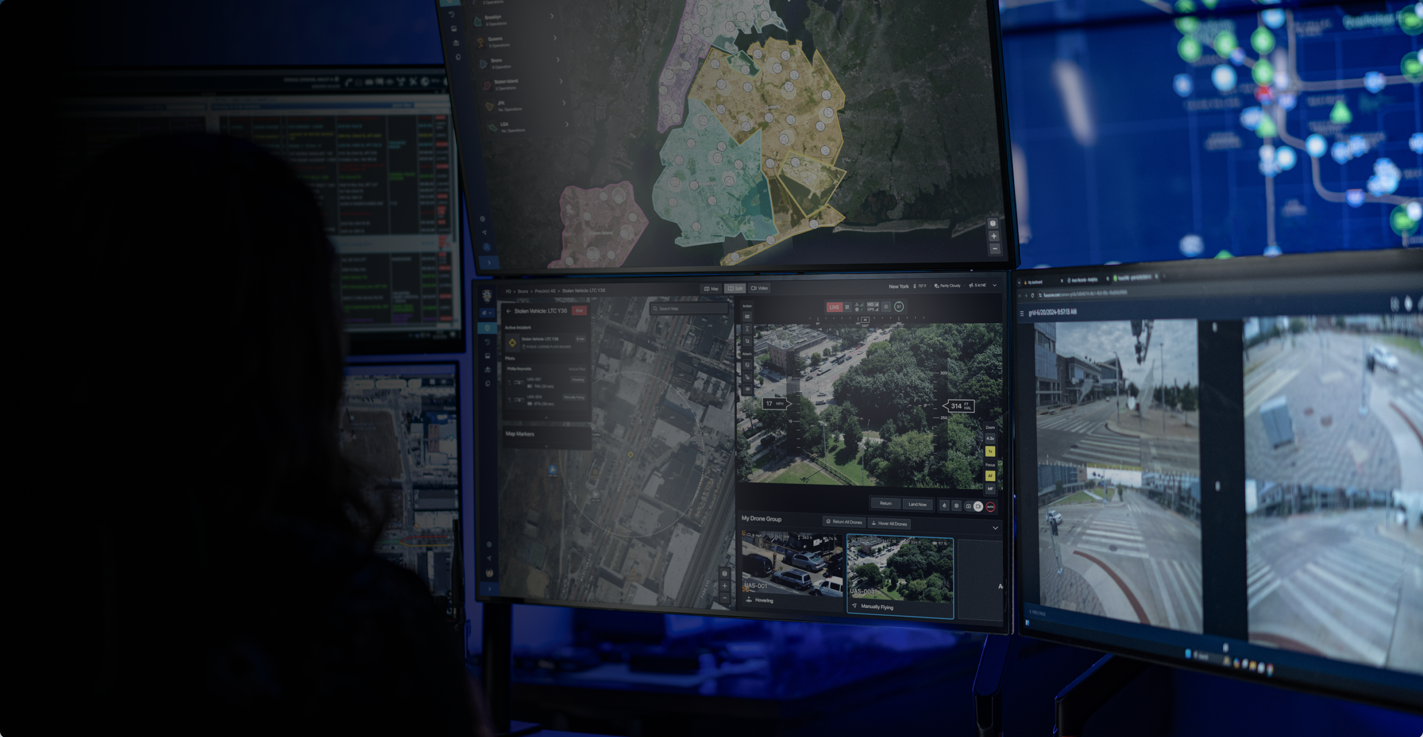
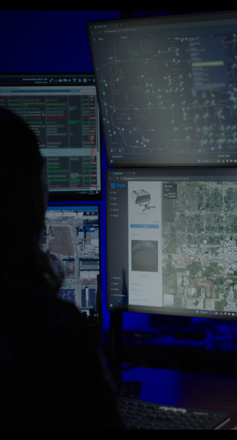
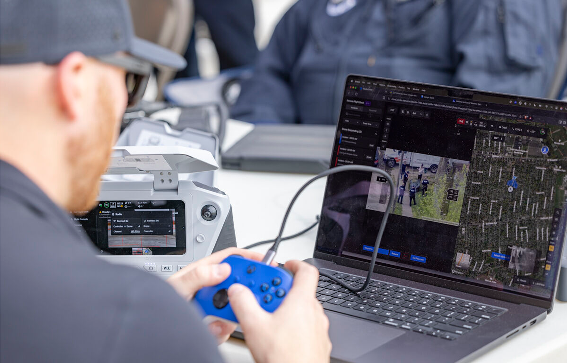
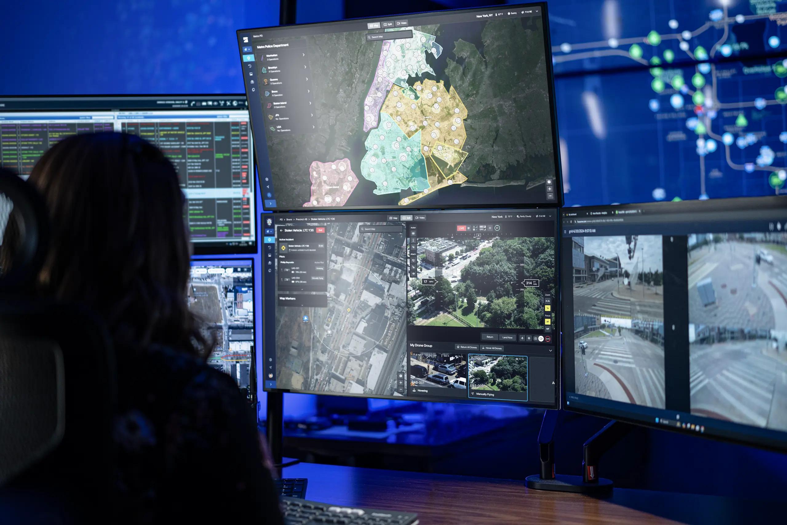
Unified command view
DFR Command is the operating system for drone as first responder. From a single view, remote operators launch and manage Skydio drones, respond to multiple calls, and stream live video to patrol and command through ReadyLink. Integrated with CAD. Manage all your drones in a single interface for simplified fleet management.
Natively integrated
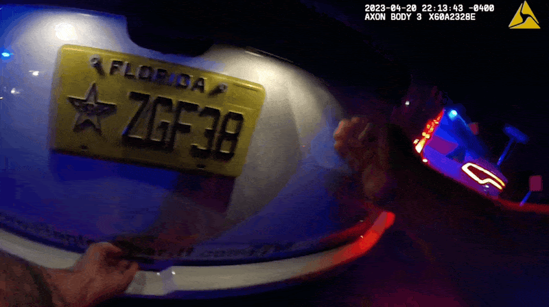
DFR Command integrates natively with the systems campus facilities already use. From RapidSOS and CAD at dispatch, to live operations through Axon Fusus with body-worn and fleet cameras, to automatic evidence upload into Axon Evidence, every step of the workflow is integrated.
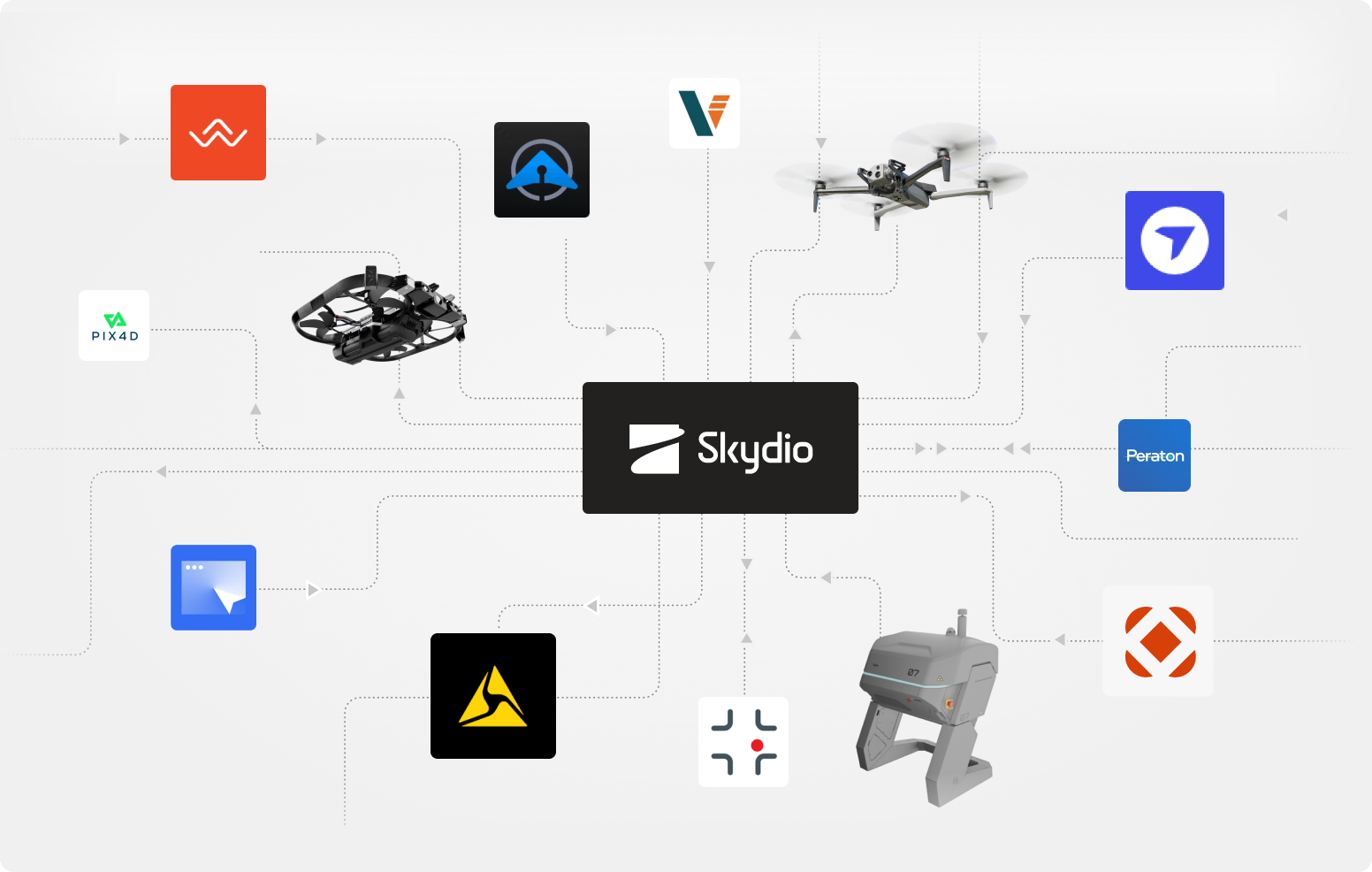
DFR integrations.

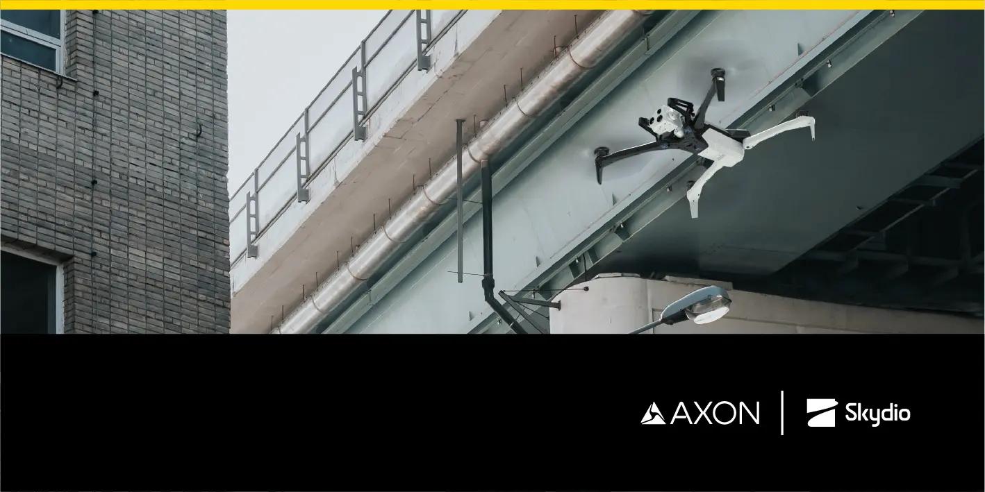
Axon Air
Axon Air provides real-time situational awareness, fleet management, and seamless data transfer to Axon Evidence.

Prepared
Supercharge your agency’s operational efficiency with the transformative power of AI.
RapidSOS
RapidSOS uses HARMONY AI to put critical emergency data directly into your hands.

STRAX Intelligence Group
STRAX® Intelligence Group develops advanced real-time crime center solutions.
Skydio Autonomy—does the flying for you.
Pathfinder
Pathfinder flies the safest and most efficient route, avoiding terrain, buildings, and geofences to get on scene fast.
NightSense
Autonomously avoid obstacles in darkness or low-light environments. Fly 24/7 operations with confidence.
Skydio Connect—fly with limitless range.
Connect Fusion
Fly as far as you need with Skydio Connect Fusion and instantly switch from point-to-point to 5G connections.

Skydio Connect External Radio
Maximize your point-to-point operational range from the Dock.

Dedicated support team and expert guidance.
Law enforcement veterans
Our specialists guide every step of the DFR journey, from strategizing a phased adoption plan to installing docks, integrating systems, and getting data where you need it.
Regulatory Services
We have experts dedicated to helping you navigate FAA requirements to fly fully autonomously, beyond visual line of sight (BVLOS), with no visual observer.
Training
We get your team up to speed fast with training and certification to manage scheduled and unplanned flights from any browser, anywhere in the world.
Success services
Team members, some who have worn the badge, guide you with their extensive expertise as you plan, launch, ramp, and scale your DFR program.

Let us help you build a successful DFR program.
Join a live online demo.
See Skydio DFR in action, as we fly real-time missions in a quick 30-minute small group session.
Fly in Skydio Paraverse.
Get hands on. Fly Dock-based DFR in your own city in our virtual environment, navigating from your browser using DFR Command.
Start building a plan.
Let us help you turn your vision into a plan that provides immediate results and a path to grow.
Resources
Learn more about building a DFR program with Skydio.

Smarter Response, Safer Cities: Real Results from DFR Programs Vol 1.2

Highway DFR: Accelerating safer, smarter road response

DFR Operational Readiness Guide

Drone as First Responder in action: Real results
Skydio DFR Command Makes Drone as First Responder Programs a Reality for Public Safety Agencies of All Sizes.
Elevating First Response: Skydio and Axon’s Integrated Approach to Drone as First Responder Programs.
Keeping Officers and the Community Safe: The Role of Drones at Flagler County Sheriff’s Office.
1 Always fly X10 in compliance with applicable laws and according to the Skydio Safety and Usage Guidelines
2 Remote piloting and continuous live-stream are dependent on cellular network connectivity. BVLOS permit required for remote flight.