


Real operations.
Virtual missions.
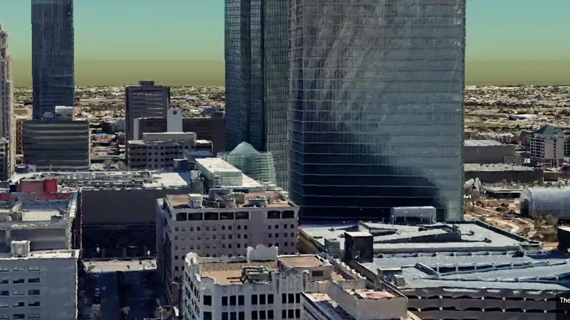
Skydio Paraverse.
Drone programs bring together aircraft, pilots, software, and workflows that must operate in perfect coordination across your airspace—making real-world testing and training slow to execute and difficult to scale. Skydio Paraverse changes that with a rich simulation environment where teams build, train, and refine operations faster before going live.
Build virtually. Deploy with confidence.
Configure a realistic 3D operating environment where your entire drone program comes together—even before committing resources or budget. Use the full Skydio software suite to prepare, validate, and perfect operations, ensuring your plan performs exactly as intended from the first live flight.
Position dock-based drones where they’re needed most. Optimize coverage before deployment.

Validate missions to ensure precision before you fly the real thing.

Refine mission workflows and practice team procedures in Paraverse for flawless execution in the field.
Move from Paraverse to live operations faster, without missing a step.

Train in the environment you work in—wherever you work.
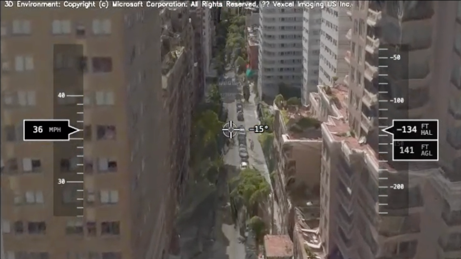
Operators train in their own mission environment using the same Skydio flight software used in the field—DFR Command, Remote Ops, or controller-based missions replicated in the cloud. Every launch, input, and flight path mirrors real airspace, helping teams master procedures faster and gain necessary skills for live missions.
Train for real obstacles.
Fly through complex environments using the same Skydio Autonomy you’ll rely on in the field.
Respond under pressure.
Simulate high-stress scenarios like wind, low battery, or shifting mission demands to strengthen decision-making and maintain calm under pressure.

Develop faster situational awareness.
Use augmented overlays for landmarks, street names, and mission data to sharpen perception and maintain complete situational control.

Practice team coordination.
Use ReadyLink to build and test live video sharing across teams, leadership, or partner agencies—ensuring everyone operates from a shared view during real missions.

Master visual control.
Use pan, tilt, zoom, and gimbal controls to strengthen how operators see, interpret, and act—building precision for live flights.
Fine-tune your systems before your first flight.
Test and validate every system, workflow, and data connection in a full digital replica of your Skydio ecosystem—so when you activate hardware, every integration performs exactly as expected.
Run your entire SOPs including regulatory, airspace, safety, and reporting protocols, without having to pick up a piece of hardware.

Access telemetry data, flight logs, usage metrics, live flights, and view and replay the flight path of any flight for assessment and training.

Experience Skydio Paraverse in your world. Try it free.
Public Safety DFR
I’m interested in flying Drone as First Responder missions for a public safety agency.
Commercial
I’m interested in flying missions for asset inspection, security patrol, emergency response, surveying and mapping, or another purpose.
National Security
I’m interested in flying tactical intelligence, surveillance, and reconnaissance (ISR) missions for a defense or national security agency.